Type bus stop near me into your phone anywhere in the UAE and a map full of pins appears — but the pins alone do not tell you which stop serves your route, which direction the bus is travelling, or whether it is even running today. The UAE has no single bus network: Dubai is run by the RTA, Abu Dhabi by Abu Dhabi Mobility (the Integrated Transport Centre), and Sharjah by the SRTA, and each emirate has its own app, its own stop signs and its own way of showing live times. This guide walks through the fastest method in each emirate — the official apps, the stop code printed on every flag, Google Maps, and the main stations — so you can find the right stop, on the right side of the road, in a couple of minutes.
The short version: use your emirate’s official app first, Google Maps second, and the information on the stop flag itself as the final check before you board. Do that and the “nearest stop” problem disappears.
Bus Stop Near Me — Quick Facts | |
| Fastest method | Your emirate’s official app — S’hail (Dubai), Darbi (Abu Dhabi), SRTA (Sharjah) |
| Dubai | S’hail app and Wojhati journey planner · every stop flag carries a stop code · RTA 800 9090 |
| Abu Dhabi | Darbi app and website · stop number on every pole · live departures per stop |
| Sharjah | SRTA route maps and Mowasalat app · Al Jubail is the main station |
| Without an app | Google Maps transit layer covers Dubai and Abu Dhabi well; stop flags list every route calling there |
| Main stations | Union and Al Ghubaiba (Dubai) · Abu Dhabi Central at Al Wahda · Al Jubail (Sharjah) |
| Key habit | Always check the direction (terminus) name before boarding — stops come in pairs across the road |

The 30-Second Method: Use Your Emirate’s App
Every UAE transport authority publishes a journey planner that knows its own network better than any third-party map: live arrivals, diversions, and stops that have moved. Open the right one, allow location access, and the nearest stops appear on a map with the next buses due at each.
| Emirate | Official tool | What it shows |
| Dubai | S’hail app (RTA) · Wojhati planner | Nearest stops, live bus countdowns, door-to-door routes mixing bus and Metro |
| Abu Dhabi | Darbi app and website (Abu Dhabi Mobility) | Nearest stops, live departures, journey planner, service alerts |
| Sharjah | SRTA route maps · Mowasalat app | City and intercity routes, station departures, timetable PDFs |
| Everywhere | Google Maps transit directions | Stop locations and planned routes; live data is strongest in Dubai |
Finding a Bus Stop in Dubai: S’hail and Stop Codes
Dubai is the easiest emirate to navigate. The RTA’s S’hail app is the single official tool: open the bus section, tap the map, and it lists the stops around you with the routes serving each and a live countdown to the next bus. The built-in journey planner — the same engine as the RTA’s long-running Wojhati planner on rta.ae — will route you door to door across bus, Metro and tram, and it tells you exactly which stop to walk to and which one to get off at.
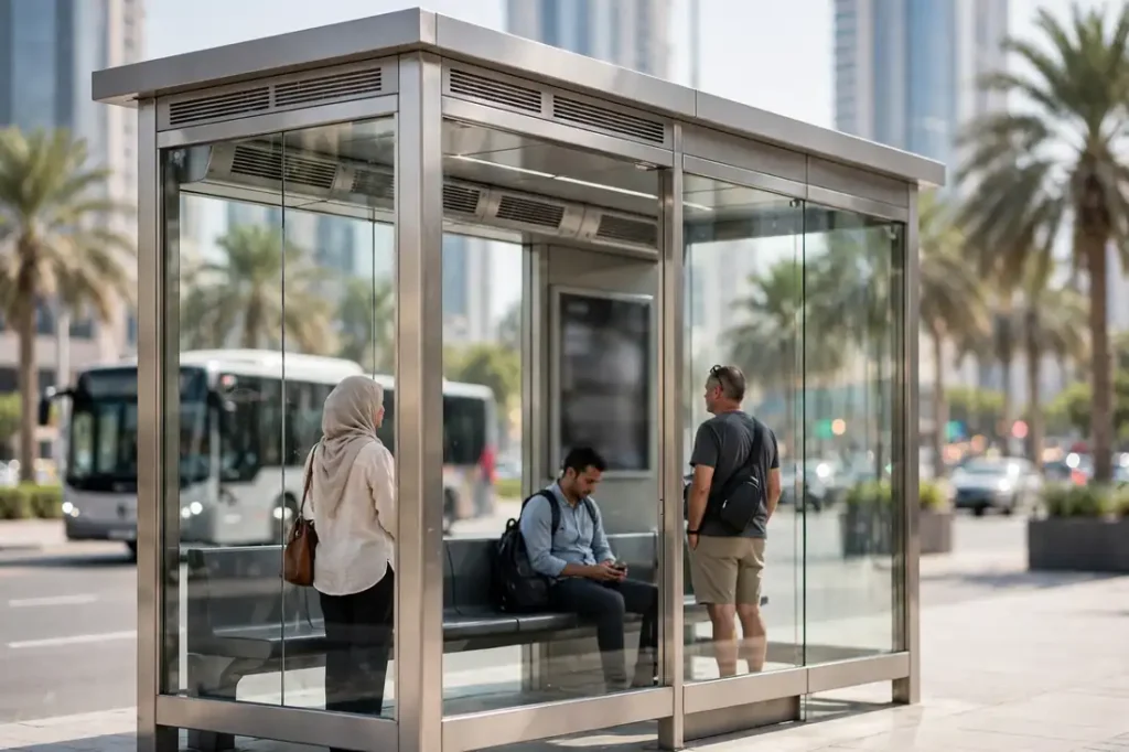
On the street, Dubai bus stops are hard to miss. Many are enclosed, air-conditioned shelters with a route map and, at busy stops, a next-bus display; the rest are signed poles. Every stop carries a stop name and a unique stop code printed on the flag. If your phone battery is fine but your data is not, note the code anyway: entering it in S’hail later — or quoting it to the RTA call centre on 800 9090 — pulls up that exact stop’s departures.
For intercity journeys you do not need a street stop at all — go straight to a station. The two biggest are Union Bus Station in Deira and Al Ghubaiba in Bur Dubai, with the open-air Sabkha and Gold Souk stops handling much of Deira’s local flow. Our Dubai Bus Guide maps the whole network, fares and Nol rules.
Finding a Bus Stop in Abu Dhabi: Darbi
Abu Dhabi’s equivalent is Darbi, the official app and website of Abu Dhabi Mobility (darbi.itc.gov.ae). With location switched on, Darbi shows the stops nearest to you, the routes calling at each, and live departure times; its journey planner chains buses together across the city and out to the suburbs. Abu Dhabi bus stops are signed poles and shelters marked with the route numbers that call there, and each stop has its own stop number — search Darbi by that number and you get that stop’s next buses, which is the quickest check while you are already standing at the pole.
Abu Dhabi’s network is stop-based rather than station-based for city trips, but two interchanges anchor it: Abu Dhabi Central Bus Station at Al Wahda, where the Dubai and Al Ain coaches leave, and the Mussafah interchange for the Mussafah and MBZ City corridor. The full picture — routes, the Hafilat card and regional services — is in our Abu Dhabi Bus Guide.
Finding a Bus Stop in Sharjah
Sharjah’s system is simpler and a little more old-school. The SRTA publishes route maps and timetables for its Mowasalat city buses, and the Mowasalat app carries route and timing information; street stops are signed flags listing the route numbers that call. Google Maps coverage of Sharjah’s local buses is thinner than Dubai’s, so for a journey that matters, cross-check the official route map or start from a known point.
The anchor is Al Jubail Bus Station, Sharjah’s main terminal, where city buses and the intercity coaches to Dubai, Ajman and the east coast all meet. On the University City side, Muweilah Bus Station is the stop that matters, including for the E315 to Dubai. Our Sharjah Bus Routes guide brings the city lines, the Sayer card and the intercity departures together.
Google Maps: When It Works and When It Doesn’t
For a quick “bus stop near me” answer, Google Maps is genuinely good in the UAE: its transit layer shows stop locations in every emirate, and in Dubai and Abu Dhabi its directions usually match the official planners, sometimes with live departure estimates. Use it for discovery — seeing what is around you — but treat the emirate’s own app as the authority for three things: live arrivals, temporary diversions (common around roadworks and events), and stops that have recently moved.
One more Maps habit worth building: tap the stop, not just the route. The stop view shows which direction each departure is heading — the single detail that decides whether you are at the right stop at all.
Reading a Bus Stop Flag: Routes, Direction and Codes
Every bus stop sign in the UAE answers the same three questions, if you read it fully:
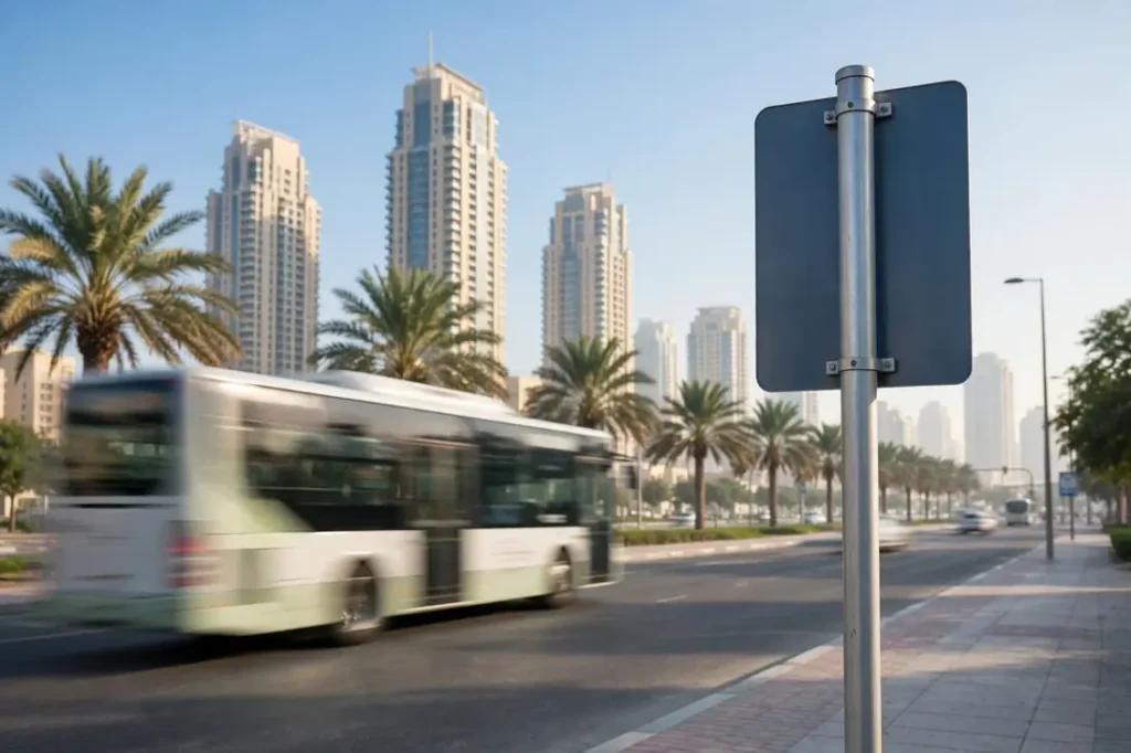
- Which routes call here: the route numbers are listed on the flag or shelter panel. If your route number is not there, that bus does not stop — however close the stop looks on the map.
- Which direction: routes are shown with their final destination (the terminus). “103 towards Global Village” and “103 towards Union” leave from different stops, usually opposite each other.
- Which stop is this: the stop name and code identify it in the apps, so you can pull live times, set an alert, or find the same stop on the way back.
Which Side of the Road? Getting the Direction Right
UAE buses drive on the right, and stops come in pairs: one on each side of the road, serving opposite directions. The classic beginner’s mistake is waiting at the nearest stop while your bus passes on the other side. Before you settle in, check the terminus name on the flag against your destination — in S’hail or Darbi, your journey result names the exact boarding stop, and it is worth the 20-second walk to the correct side, ideally at a marked crossing rather than mid-block.
If a bus passes without stopping, the usual reason is not the driver: it is that the route does not call at that stop, or you were at the opposite-direction stop. Check the flag’s route list first, then wave clearly as your bus approaches — outside the big shelters, drivers stop on signal.
Late at Night: Last Buses and Night Services
Most Dubai city routes start around 4:30–5:30 AM and run until roughly midnight to 1:00 AM, varying by route; a small set of N-prefixed night routes covers the main corridors through the night. Abu Dhabi’s core city and airport routes run around the clock, with thinner frequencies overnight, while Sharjah’s city buses typically wind down around midnight. Stations lock up overnight, but street stops stay “open” — there is just nothing due until the first morning bus.
Practically: after about 11:30 PM, always check live times in the app before walking to a stop, and have a taxi or ride-hailing backup for the last leg. First and last bus times for the intercity routes are covered route by route in our station and pair guides.

Tips for Finding and Using Bus Stops
- Save your home and work stops in S’hail or Darbi once, and live departures become a one-tap check every day after.
- Screenshot the stop code at any stop you use regularly — it is the fastest way back to that stop’s timetable on any phone.
- Arrive five minutes early: live countdowns are estimates, and buses that run early do not wait.
- Check the terminus, not just the number: the same route number travels in two directions from two different stops.
- Use stations for intercity trips: coaches to other emirates leave from stations like Union, Al Ghubaiba and Al Jubail, not from street stops.
- Carry the right card: Nol in Dubai, Hafilat in Abu Dhabi, Sayer in Sharjah — a stop found is useless if you cannot pay when the bus comes.
How do I find the nearest bus stop in Dubai?
Open the RTA S’hail app, allow location access and open the bus map: it shows the stops around you, the routes serving each one and live countdowns. The same planner (Wojhati) is on rta.ae. On the street, look for the blue RTA shelters and signed poles — every flag carries the stop name and code.
What is a bus stop code, and where do I find it?
It is the unique number identifying that exact stop, printed on the stop flag or shelter. Enter it in S’hail (Dubai) or Darbi (Abu Dhabi) to see that stop’s live departures, and quote it to the call centre if you need help. It also distinguishes the two stops of a pair, which share a name but serve opposite directions.
How do I find a bus stop in Abu Dhabi without the app?
Use the Darbi website (darbi.itc.gov.ae) from any browser — it has the same nearby-stop search and journey planner as the app. Google Maps also shows Abu Dhabi stop locations. At the stop itself, the pole lists the route numbers and the stop number, which you can search on the website for live times.
Does Google Maps show live UAE bus times?
It shows stop locations everywhere and planned routes in all three emirates, with live or near-live departures in Dubai and Abu Dhabi on many routes. For diversions, moved stops and guaranteed-accurate arrivals, the official apps — S’hail and Darbi — remain the authority, and Sharjah’s local coverage on Maps is patchier than Dubai’s.
How do I know which side of the road to wait on?
Check the destination (terminus) name shown for your route on the flag and in the app: stops come in opposite-direction pairs across the road. Your journey-planner result names the exact boarding stop — follow it, and cross at a marked crossing.
Are Dubai bus stops air-conditioned?
Many are: Dubai pioneered enclosed, air-conditioned bus shelters, and the busiest stops have them, along with route maps and next-bus screens. Smaller stops are open shelters or signed poles, so do not count on air-conditioning at every stop — the S’hail app shows live times so you can time your walk and minimise waiting in the heat.
What is the difference between a bus stop and a bus station?
A stop is a single boarding point on a route; a station (or terminal) is a hub where many routes start and end, with bays, ticket counters and staff — like Union in Dubai or Al Jubail in Sharjah. Intercity coaches between emirates almost always leave from stations, not street stops.
What if there is no bus stop near me?
Some newer districts are served by on-demand minibuses rather than fixed stops — Dubai’s Bus on Demand and Abu Dhabi’s equivalent run in selected areas and are booked through the official apps, picking you up near your location. Otherwise, the practical pattern is a short taxi or walk to the nearest served corridor, then the bus for the long leg.
Related Guides
- Dubai Bus Guide: Routes, Timings, Fares & Nol Payment
- Abu Dhabi Bus Guide: Routes, Timings, Fares & Hafilat Payment
- Sharjah Bus Routes & Timings: Complete Guide
- Union Bus Station Dubai: Routes, Timings & Metro
- Al Wahda Bus Station Abu Dhabi: Routes & Timings
- Al Jubail Bus Station Sharjah: Routes & Timings

Daniyal Sheikh
Transport Editor, UAE Travel Hub
Dubai daily commuter covering the Metro, Nol cards, RTA buses and intercity routes across all seven emirates — every fare and timing checked against official RTA, ITC and SRTA sources.